
|
|
| Mesoscale Discussion 2104 | |
|
|
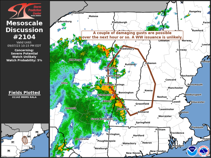
Mesoscale Discussion 2104 NWS Storm Prediction Center Norman OK 0850 PM CDT Fri Sep 19 2025 Areas affected...Central and South Central Kansas Concerning...Severe Thunderstorm Watch 615... Valid 200150Z - 200345Z The severe weather threat for Severe Thunderstorm Watch 615 continues. SUMMARY...Severe thunderstorms within WW 0615 are expected to persist for the next couple of hours, and maintain a threat for damaging straight-line winds and hail. DISCUSSION...A loose cluster of supercell thunderstorms continues south-southeastward across the western and central portions of WW 0615. The 00Z DDC RAOB downstream of the current convection showed an unstable and uncapped airmass, approximately 40 kts of deep layer shear, and fairly substantial 0-3km SRH exceeding 200 m^2 / s^2. Though the nocturnal boundary layer has (and will continue) to stabilize, warm air advection influenced by a modest nocturnal low-level jet will continue to support elevated convection over the next couple of hours. This low-level jet is also influencing the low-level curvature of the hodograph, which will further support continued storm intensity through the maintenance of low-level and mid-level mesocyclones. Given the decrease in buoyancy with eastward extent, the expectation is that storm severity will also decrease with eastward extent. The primary threat will be for hail up to 1.75 inches, and 60 MPH winds. ..Halbert.. 09/20/2025 ...Please see www.spc.noaa.gov for graphic product... ATTN...WFO...ICT...DDC...GLD... LAT...LON 38870060 38970036 38989970 38969925 38809892 38359866 38039854 37819849 37559869 37379909 37379957 37410010 37470034 37620060 38160072 38530071 38710070 38870060 MOST PROBABLE PEAK WIND GUST...UP TO 60 MPH MOST PROBABLE PEAK HAIL SIZE...1.00-1.75 IN |
|
|
Top/All Mesoscale Discussions/Forecast Products/Home |
|