|
|
| Mesoscale Discussion 2015 | |
| Next MD > | |

|
|
   Mesoscale Discussion 2015
   NWS Storm Prediction Center Norman OK
   0218 PM CDT Wed Aug 27 2025

   Areas affected...Southwest Minnesota and far eastern South Dakota

   Concerning...Severe potential...Watch unlikely

   Valid 271918Z - 272145Z

   Probability of Watch Issuance...5 percent

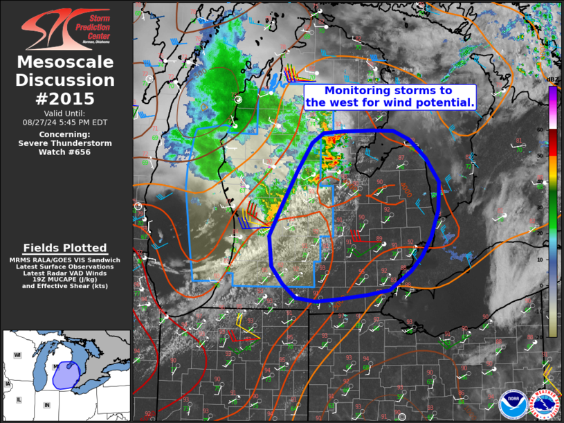
   SUMMARY...Thunderstorm coverage should increase through early
   evening across southwest Minnesota and perhaps far eastern South
   Dakota. A strong to severe thunderstorm or two is possible, but
   watch issuance is not expected.

   DISCUSSION...Latest GOES imagery shows a band of growing cumulus
   focused along a subtle warm frontal zone from eastern SD into
   south-central MN. Vertical development of the cumulus has increased
   over the past hour (with occasional lightning flashes noted in at
   least one deeper convective tower) as modest daytime heating slowly
   reduces inhibition and ascent ahead of a weak upper-level wave
   (noted in water-vapor imagery and regional VWP observations) glances
   the region. Additional convective development should become more
   likely through late afternoon/early evening as temperatures continue
   to warm into the mid/upper 70s and the upper wave overspreads
   southern MN. VWP observations from KFSD have consistently sampled
   around 30 knots of 0-4 km shear, and recent RAP forecast
   soundings/mesoanalysis estimates suggest MLCAPE is approaching 1000
   J/kg. While fairly modest, this environment is sufficient for some
   storm organization if mature convection can become established
   within the weakly forced regime. More intense cells may be capable
   of severe gusts as well as large hail, though the coverage and
   overall intensity of severe thunderstorms is expected to remain
   fairly limited through early evening.

   ..Moore/Gleason.. 08/27/2025

   ...Please see www.spc.noaa.gov for graphic product...

   ATTN...WFO...MPX...DMX...FSD...ABR...

   LAT...LON   45079626 45039549 44929487 44769447 44589405 44329363
               44039334 43729336 43529346 43429383 43419435 43449505
               43539565 43659608 43829655 44129698 44399719 44659725
               44939717 45069685 45079626

   MOST PROBABLE PEAK WIND GUST...UP TO 60 MPH
   MOST PROBABLE PEAK HAIL SIZE...UP TO 1.25 IN
|
|
|
Top/All Mesoscale Discussions/Forecast Products/Home |
|
