|
|
| Mesoscale Discussion 1981 | |

|
|
   Mesoscale Discussion 1981
   NWS Storm Prediction Center Norman OK
   0845 PM CDT Sun Aug 17 2025

   Areas affected...northwest Nebraska and southern South Dakota

   Concerning...Severe potential...Watch possible

   Valid 180145Z - 180345Z

   Probability of Watch Issuance...60 percent

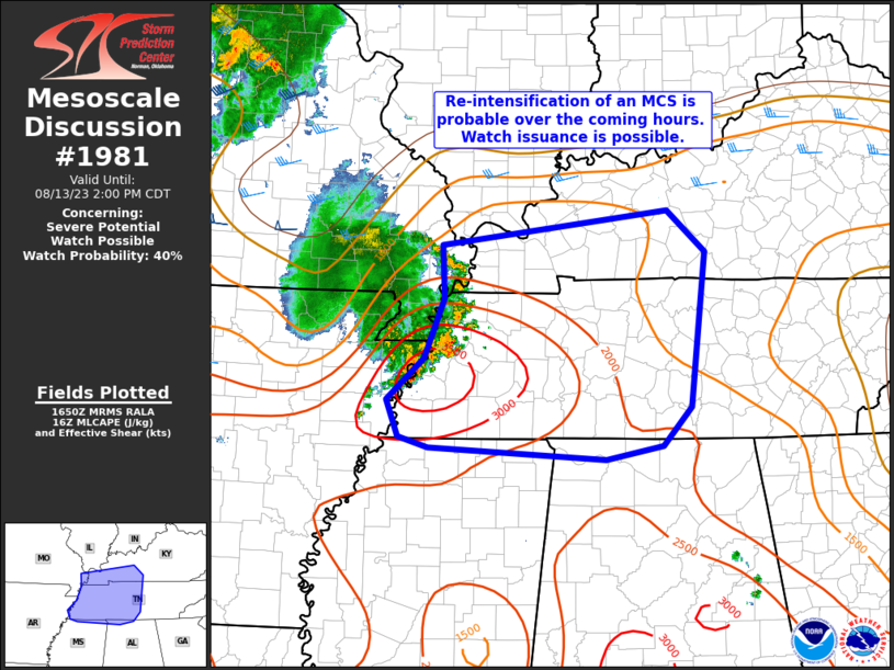
   SUMMARY...Thunderstorms capable of large hail and strong winds are
   ongoing across portions of the area. These storms should continue
   through the evening and perhaps increase in coverage/organization.
   Trends will continue to be watched for a potential severe
   thunderstorm watch.

   DISCUSSION...Several clusters of discrete storms -- with at least
   transient supercellular characteristics -- are ongoing across
   portions of the area. These storms are embedded within a belt of
   stronger upper-level winds stretching from Baja northeast into
   northern Minnesota, and may have initiated in association with a
   subtle vorticity maximum coming off the higher terrain of northern
   Colorado.

   These storms are on the western edge of the MUCAPE gradient, with
   higher MUCAPE -- 3000+ J/kg -- to the east. Effective-layer shear is
   variable between 30-40 knots which is likely contributing to the
   supercellular structures, and these storms will continue to pose a
   threat for damaging winds and large hail.

   The evolution of these multi-cell/supercell clusters this evening is
   unclear. Currently thinking is that given the environment in place,
   these storms' outflows/cold pools should congeal into one or more
   small MCS clusters, leading to an increased potential in severe
   wind.

   Trends across the region are being monitored for potential watch
   issuance. If convective trends suggest upscale growth is imminent a
   severe thunderstorm watch may become necessary.

   ..Marsh/Smith.. 08/18/2025

   ...Please see www.spc.noaa.gov for graphic product...

   ATTN...WFO...FSD...OAX...ABR...GID...LBF...UNR...CYS...

   LAT...LON   41169723 41329857 41500023 41780132 42250254 43000348
               43660276 43690098 43699938 43729851 43419716 42609657
               41729654 41169723

   MOST PROBABLE PEAK WIND GUST...65-80 MPH
   MOST PROBABLE PEAK HAIL SIZE...1.50-2.50 IN
|
|
|
Top/All Mesoscale Discussions/Forecast Products/Home |
|
