
|
|
| Mesoscale Discussion 1968 | |
|
|
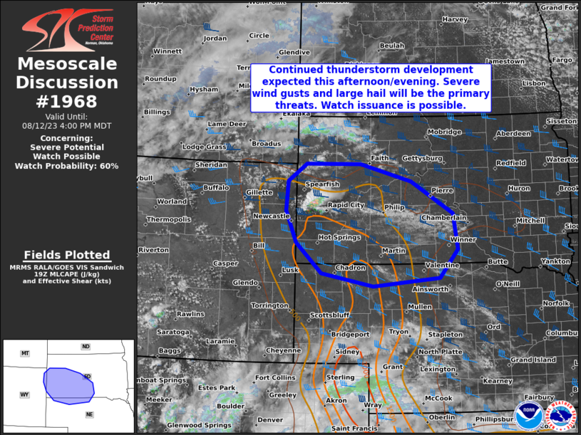
   Mesoscale Discussion 1968
   NWS Storm Prediction Center Norman OK
   0636 PM CDT Sat Aug 16 2025

   Areas affected...western South Dakota

   Concerning...Severe potential...Watch possible

   Valid 162336Z - 170130Z

   Probability of Watch Issuance...40 percent

   SUMMARY...Severe thunderstorm potential will increase this afternoon
   into the evening. Large hail may be an initial concern, but the
   primary severe threat should be damaging winds.

   DISCUSSION...Strong heating of a moist airmass across western South
   Dakota has resulted in a strongly unstable environment with MUCAPE
   in excess of 3000 J/kg in areas. Within this environment,
   thunderstorms are gradually increasing in coverage in response to
   strengthening large-scale ascent ahead of another shortwave trough
   moving around the periphery of the southern Plains ridge.

   Continued southeast-to-east surface winds beneath westerly flow
   aloft will maintain a sheared (ESHR around 35-40 knots) environment
   across the region. The combination of a strongly unstable and
   sheared environment should result in a gradual increase in
   thunderstorm intensity late this afternoon into the evening. The
   primary threat will be strong, damaging thunderstorm winds as
   thunderstorm coverage increases later this evening and thunderstorm
   outflows congeal ahead of the aforementioned trough. Isolated large
   to perhaps significant hail may occur with the strongest, more
   discrete thunderstorms.

   The need for a severe thunderstorm watch this evening remains
   somewhat unclear, but may increase this evening into the overnight
   hours. The most likely onset of more widespread severe potential
   should be after 9 PM MDT. However, conditions will be monitored
   through the evening in the event coverage and intensity begins to
   increase.

   ..Marsh/Smith.. 08/16/2025

   ...Please see www.spc.noaa.gov for graphic product...

   ATTN...WFO...ABR...BIS...LBF...UNR...BYZ...

   LAT...LON   42800197 43310375 44510434 45780402 46130352 45920163
               45520078 44390047 43250061 42800197

   MOST PROBABLE PEAK WIND GUST...65-80 MPH
   MOST PROBABLE PEAK HAIL SIZE...1.50-2.50 IN
|
|
|
Top/All Mesoscale Discussions/Forecast Products/Home |
|