|
|
| Mesoscale Discussion 1893 | |

|
|
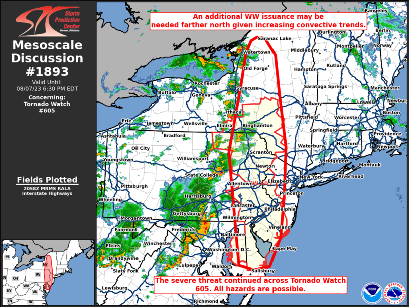
Mesoscale Discussion 1893 NWS Storm Prediction Center Norman OK 0800 PM CDT Tue Aug 05 2025 Areas affected...central and eastern South Dakota into northern Nebraska Concerning...Tornado Watch 574... Valid 060100Z - 060300Z The severe weather threat for Tornado Watch 574 continues. SUMMARY...A threat of a brief tornado remains over the South Dakota portion of the watch. However, a transition to damaging wind threat is anticipated. DISCUSSION...A large complex of thunderstorms within the warm advection zone over southeast ND continues to build southwestward into northeast SD, with new cells developing along the heated surface trough. Storms mode has been mixed, with clustering and merging outflows. The 00Z ABR sounding was moist, but relatively cool in the low-levels. As such, low-level shear from here northeastward has proved ineffective for tornadoes thus far. However, a substantial southerly low-level jet persists this evening, and instability remains substantial. New cells developing within the surface trough draped across SD could produce a brief tornado before storm mode becomes unfavorable. Most model solutions depict upscale growth into an MCS, propagating southeastward through tonight. Damaging winds should be the main threat in such a scenario. ..Jewell.. 08/06/2025 ...Please see www.spc.noaa.gov for graphic product... ATTN...WFO...FGF...FSD...OAX...ABR...BIS...LBF...UNR... LAT...LON 42270194 43300137 44070108 44500095 46029948 46099911 46079811 45759749 44729730 43169764 42299842 42109938 41920053 41940133 42060179 42270194 MOST PROBABLE PEAK TORNADO INTENSITY...85-115 MPH MOST PROBABLE PEAK WIND GUST...55-70 MPH MOST PROBABLE PEAK HAIL SIZE...1.00-1.75 IN |
|
|
Top/All Mesoscale Discussions/Forecast Products/Home |
|
