|
|
| Mesoscale Discussion 774 | |

|
|
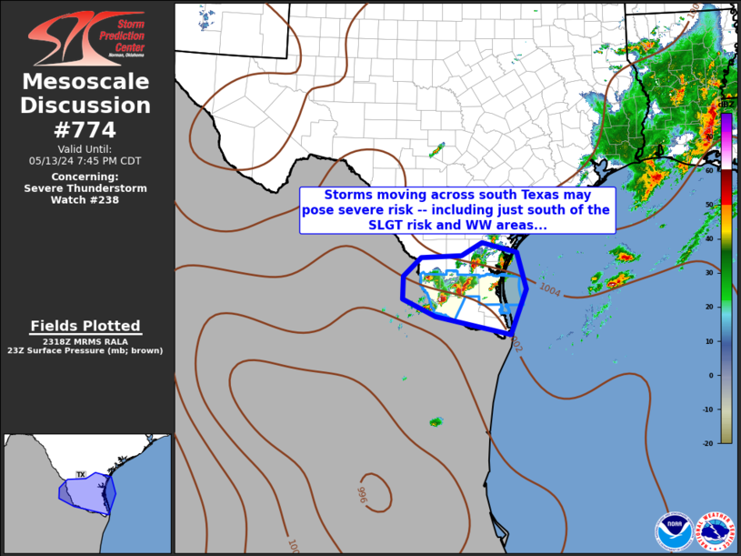
   Mesoscale Discussion 0774
   NWS Storm Prediction Center Norman OK
   0746 AM CDT Tue May 13 2025

   Areas affected...Parts of eastern NC into southeast VA

   Concerning...Severe potential...Watch unlikely

   Valid 131246Z - 131445Z

   Probability of Watch Issuance...20 percent

   SUMMARY...A localized brief-tornado and wind-damage threat may
   persist through the morning.

   DISCUSSION...Extensive convection is ongoing this morning across
   eastern NC into southeast VA. Weak instability (MLCAPE generally 500
   J/kg or less) is limiting updraft intensity, with lightning
   primarily confined to somewhat deeper convection near the NC coast.
   However, to the east of the slow-moving midlevel cyclone centered
   over western TN/KY, rather strong low-level flow continues to be
   noted on the KMHX and KAKQ VWPs, supporting effective SRH of 150-200
   m2/s2. Small cells with occasional rotation have persisted from
   northeast NC into far southeast VA, and some localized threat for a
   brief tornado and wind damage could persist through the morning with
   these smaller cells.

   Farther south, an extensive convective cluster is ongoing off the NC
   coast, with some evidence of an MCV south of Morehead City. This
   cluster could spread northward toward the immediate coast and Outer
   Banks with time, with embedded cells potentially posing a threat of
   strong gusts and a brief tornado, especially where surface dewpoints
   remain near 70 F this morning.

   ..Dean/Bunting.. 05/13/2025

   ...Please see www.spc.noaa.gov for graphic product...

   ATTN...WFO...AKQ...MHX...RAH...

   LAT...LON   34337728 35347780 37077776 37727730 37707663 37337571
               36567549 35807518 35197530 34817576 34597642 34337728

   MOST PROBABLE PEAK TORNADO INTENSITY...UP TO 95 MPH
   MOST PROBABLE PEAK WIND GUST...UP TO 60 MPH
|
|
|
Top/All Mesoscale Discussions/Forecast Products/Home |
|
