|
|
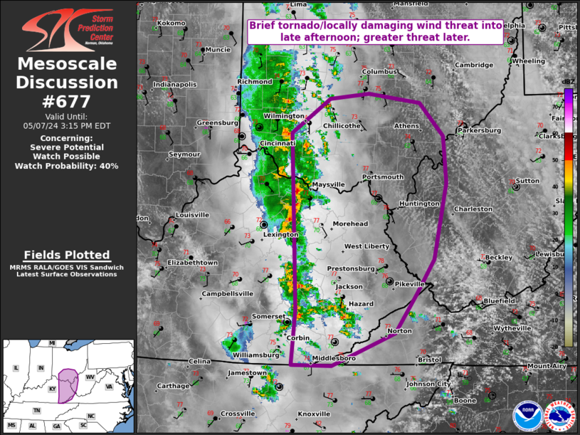
| Mesoscale Discussion 677 | |

|
|
   Mesoscale Discussion 0677
   NWS Storm Prediction Center Norman OK
   0547 AM CDT Sun May 04 2025

   Areas affected...eastern North Carolina into far southeast Virginia

   Concerning...Severe potential...Watch unlikely

   Valid 041047Z - 041345Z

   Probability of Watch Issuance...20 percent

   SUMMARY...Isolated strong gusts, and perhaps a brief/weak tornado,
   cannot be ruled out over eastern North Carolina and eventually into
   far southeast Virginia.

   DISCUSSION...A line of convection with wind shift continues to push
   east, now completely out of SC and over eastern NC. Earlier, a 50 kt
   gust was measured near North Myrtle Beach.

   In addition to the narrow north-south line of convection, other
   storms have developed ahead of the line. These storms have shown
   periodic weak mesocyclones. Other storms continue to show
   near-severe inbound velocities mainly over the water, but this
   activity may eventually move inland.

   The air mass is marginally unstable, but sufficient for isolated
   severe reports this morning. Low-level SRH with 0-1 km values of
   100-150 m2/s2 will continue to favor rotation within the stronger
   storms, though any tornado risk should remain low-end in nature.

   ..Jewell/Guyer.. 05/04/2025

   ...Please see www.spc.noaa.gov for graphic product...

   ATTN...WFO...AKQ...MHX...RAH...ILM...

   LAT...LON   34287759 34747770 35277766 35727769 36237777 36527764
               36767746 36937694 37027655 36907623 36587595 36127580
               35557602 34707651 34217694 34087732 34287759

   MOST PROBABLE PEAK TORNADO INTENSITY...UP TO 95 MPH
   MOST PROBABLE PEAK WIND GUST...UP TO 60 MPH
|
|
|
Top/All Mesoscale Discussions/Forecast Products/Home |
|
