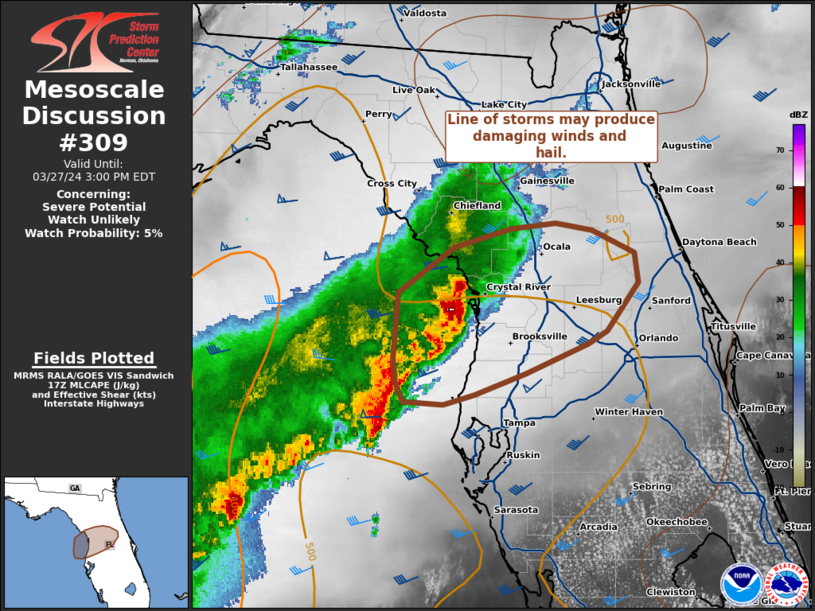
|
|
| Mesoscale Discussion 309 | |
| Next MD > | |

|
|
   Mesoscale Discussion 0309
   NWS Storm Prediction Center Norman OK
   0608 PM CDT Sun Mar 30 2025

   Areas affected...East Texas

   Concerning...Severe potential...Watch likely

   Valid 302308Z - 310145Z

   Probability of Watch Issuance...80 percent

   SUMMARY...A severe threat appears likely to develop across parts of
   east Texas early this evening. Isolated large hail, severe wind
   gusts, and perhaps a tornado threat will be possible. New weather
   watch issuance may eventually be needed.

   DISCUSSION...The latest surface analysis shows a cold front moving
   through north-central Texas, with a very moist airmass located ahead
   of the front over much of east Texas. Surface dewpoints within this
   moist airmass are in the upper 60s and lower 70s F. The RAP shows
   strong instability, with MLCAPE around 3000 J/kg. In addition, the
   latest water vapor imagery shows a subtle shortwave trough moving
   into central Texas. Ahead of this feature, large-scale ascent will
   increase across east Texas, aiding convective initiation.  It
   appears that initiation will take place over the next hour. RAP
   forecast soundings early this evening in east Texas have 0-6 km
   shear of 45 to 50 knots and 700-500 mb lapse rates of 8 to 8.5 C/km,
   suggesting that large hail will be likely with supercell
   development. Hailstones of greater than 2 inches in diameter will be
   possible. Supercells may also produce severe gusts, and be
   accompanied by an isolated tornado threat.

   ..Broyles/Mosier.. 03/30/2025

   ...Please see www.spc.noaa.gov for graphic product...

   ATTN...WFO...LCH...SHV...HGX...FWD...

   LAT...LON   30039488 30019527 30029549 30129597 30439625 30959635
               31779628 32159608 32399569 32499496 32379431 32069393
               31669377 31129360 30739366 30359388 30139429 30039488

   MOST PROBABLE PEAK TORNADO INTENSITY...85-115 MPH
   MOST PROBABLE PEAK WIND GUST...55-70 MPH
   MOST PROBABLE PEAK HAIL SIZE...2.00-3.50 IN
|
|
|
Top/All Mesoscale Discussions/Forecast Products/Home |
|
